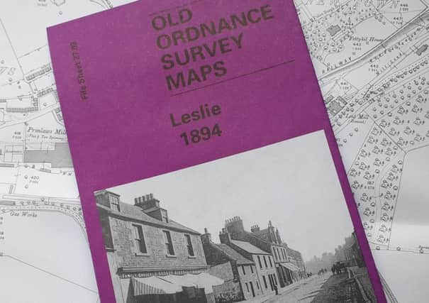
Map shows how Fife town looked 125 years ago


Earlier this year Markinch Heritage Group aided in the release of the 1893 Ordnance Survey Map of Markinch.
Now the producer of that map, Alan Godfrey, has successfully reproduced the 1894 Ordance Survey Map of Leslie, which will be accompanied by a short history of the town.
Advertisement
Hide AdAdvertisement
Hide AdAlan Crombie, talks programme organiser for Markinch Heritage Group, said: “On publication of the Markinch map we were able to sell a considerable number in aid of charity, both through our own advertising, together with the assistance of the local press.
“At that time it was mentioned the possibility of a similar map of Leslie would follow, and one of our members, a very able Leslie historian, was then tasked with writing the 3000 word text to accompany the new map.
“We are delighted to announce, the 1894 map of Leslie is now available and the good news is, that it does not only show Leslie, but to the south, can be seem the long vanished farms of Newcastle, Tanshall and Macedonia.
“I am sure many who live in these precincts, may not know where the farm buildings, which gave these areas their names stood. In addition the seldom, if ever mentioned, Templehall Farm, is also shown.”
Both maps cost £3, available from The Munro in High Street, Markinch. Alternatively, call Alan on 07802738304 or Bill on 07729863868, where within reason, delivery or collection can be arranged.